Now serving Sitio Bato Ili

Mapping Indigenous Knowledge
Protecting Ancestral Domains

A comprehensive GIS-based household profiling system designed to empower indigenous communities through data-driven decision making and resource mapping.

Why Spatial Profiling Matters?

Traditional knowledge meets modern technology. By mapping household locations, farms, and resources, we create a digital twin of the community that helps in:

Resource Management

Accurately track agricultural lands and water sources.

Demographic Insights

Understand population distribution and needs.

Ancestral Domain Protection

Secure land rights with precise geospatial data.
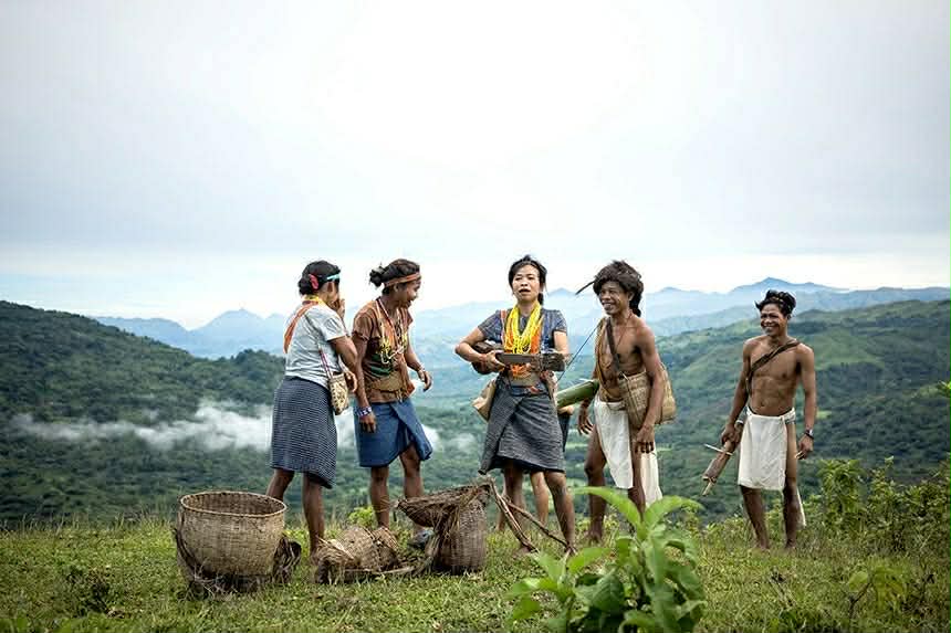
Mangyan community

Interactive Community Map

View the public version of our community map. Explore household distributions and resource locations in satellite view. Sensitive personal data is protected.

Meet the Developers

The people behind Indi-App.

Gorospe, Marvin P.

Gorospe, Marvin P.

Researcher

Researcher

Valencia, Daniela Nicol P.

Valencia, Daniela Nicol P.

Researcher

Researcher

Jaravata, Frolie Ann B.

Jaravata, Frolie Ann B.

Researcher

Researcher

Realin, Lordelyn D.

Realin, Lordelyn D.

Back-end Developer

Back-end Developer

Amador, Bea G.

Amador, Bea G.

Frontend Developer

Frontend Developer

Damiar, Apple L.

Damiar, Apple L.

Researcher

Researcher

Authorized Access

Staff access is restricted to authorized NCIP personnel and Barangay Health Workers.